Namcha Barwa Earth Observatory
An arc of colossal mountains cuts through Asia. Their stoic barricade dictates many borders – political, cultural, agricultural – and rebuffs the faint of heart. The merciless, serene peaks attract pilgrims of many kinds from many places. Within China, tourism to the Tibetan terminus of the Himalaya increases annually at a frightening place. It is here, near Nyingchi (ཉིང་ཁྲི་ས།), that we find the orogen’s Eastern anchor: Namcha Barwa.
Namcha Barwa sits proudly as Earth’s easternmost peak over 7700 meters, and the canyon over which it presides is renowned for being the deepest on the planet. The extraordinary vistas along the Yarlung Tsangpo (ཡར་ཀླུངས་གཙང་པོ་) Grand Canyon attract legions of nouveau riche tourists. Still, these mountains play critical roles in shaping the daily lives of Tibetan people.
It is important to remember that the “what” of the mountains must be preceded by an associated “how” and “why”. In order to fully appreciate the magnificence of Namcha Barwa and its kin, one must be able to look not only out across the valley, but also down at the earth beneath one’s boots.
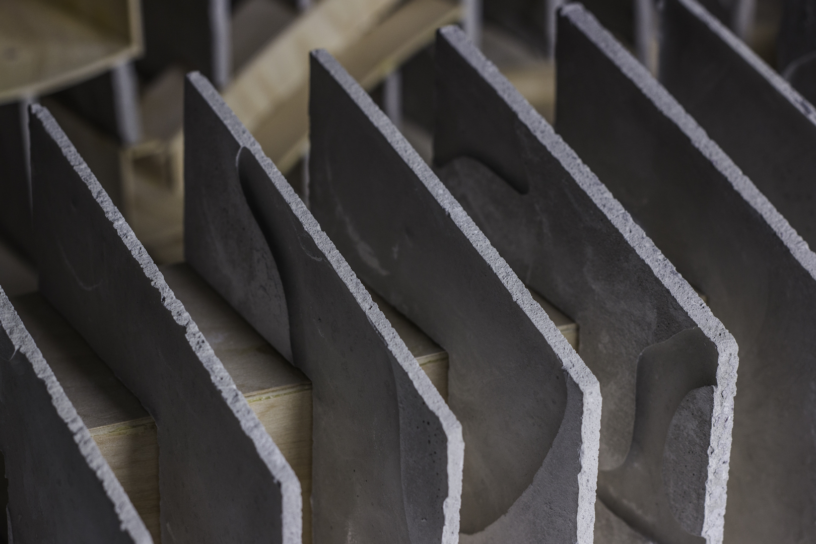
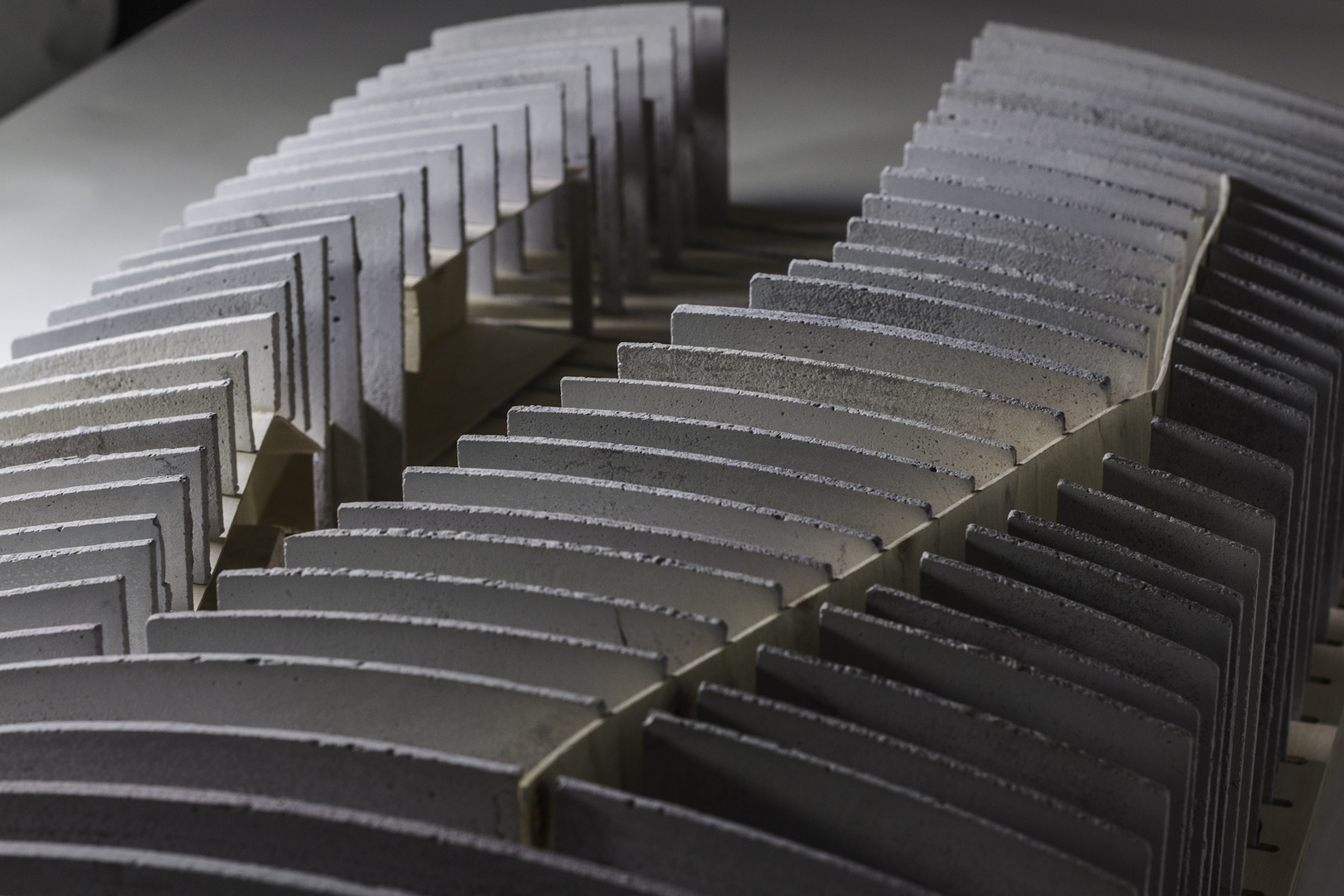
The Himalaya have been squeezed up from the depths by continental might. As the northern-bound India forces Tibet to ascend ever skyward, it has also buckled, broken, mangled, and melted the remains of an ancient seafloor. These sediments are now the rippling arteries of mountains. In order to identify the source of the mountains’ might, we must simply peel away the surface.
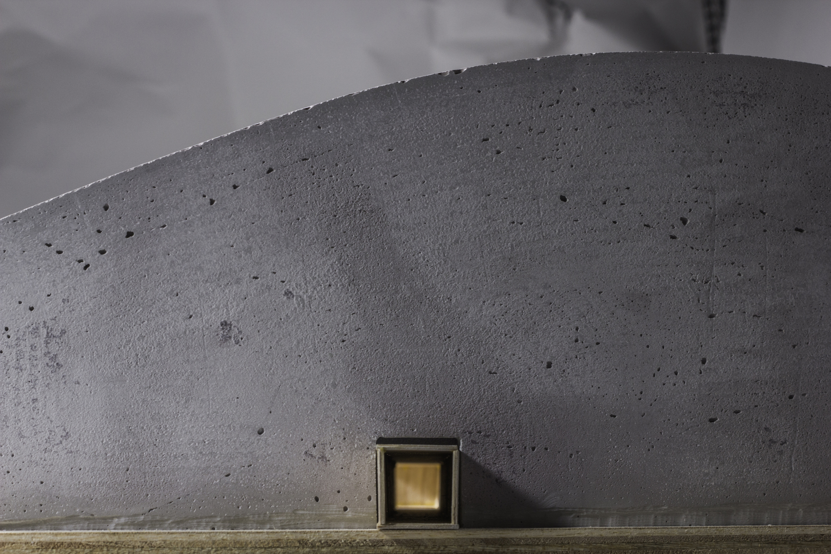
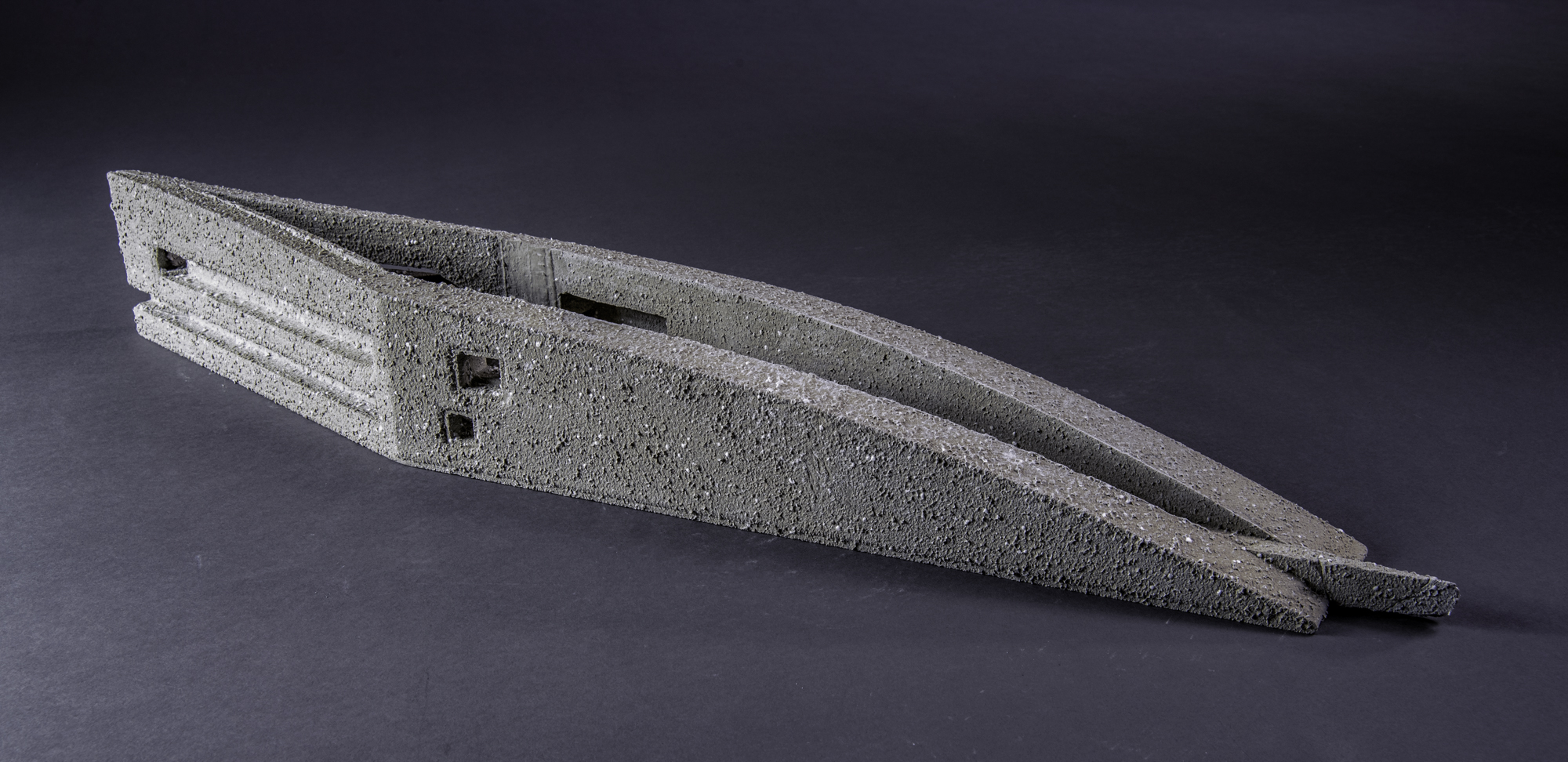
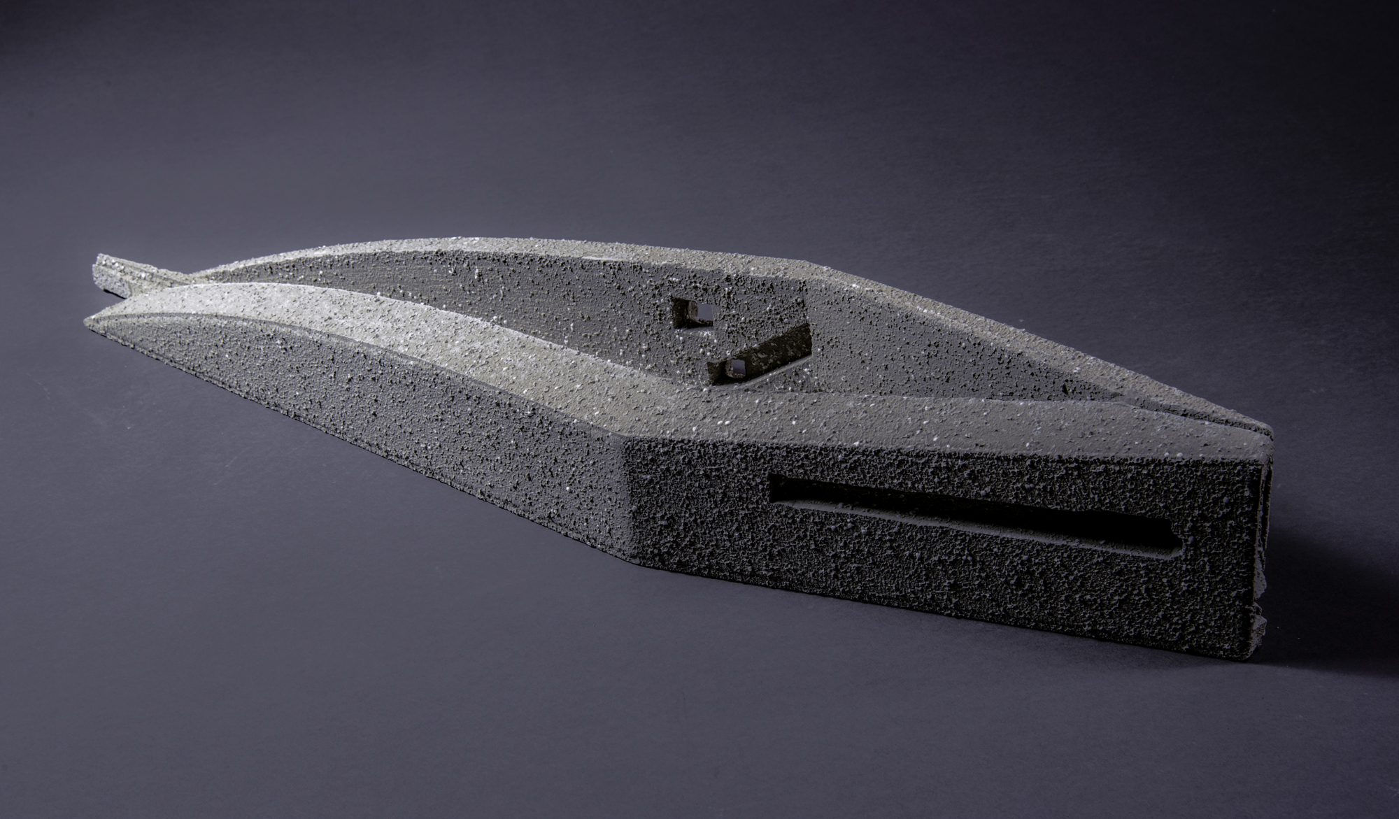
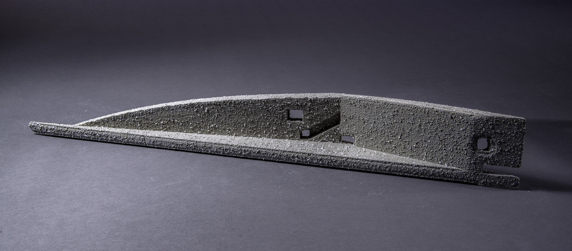
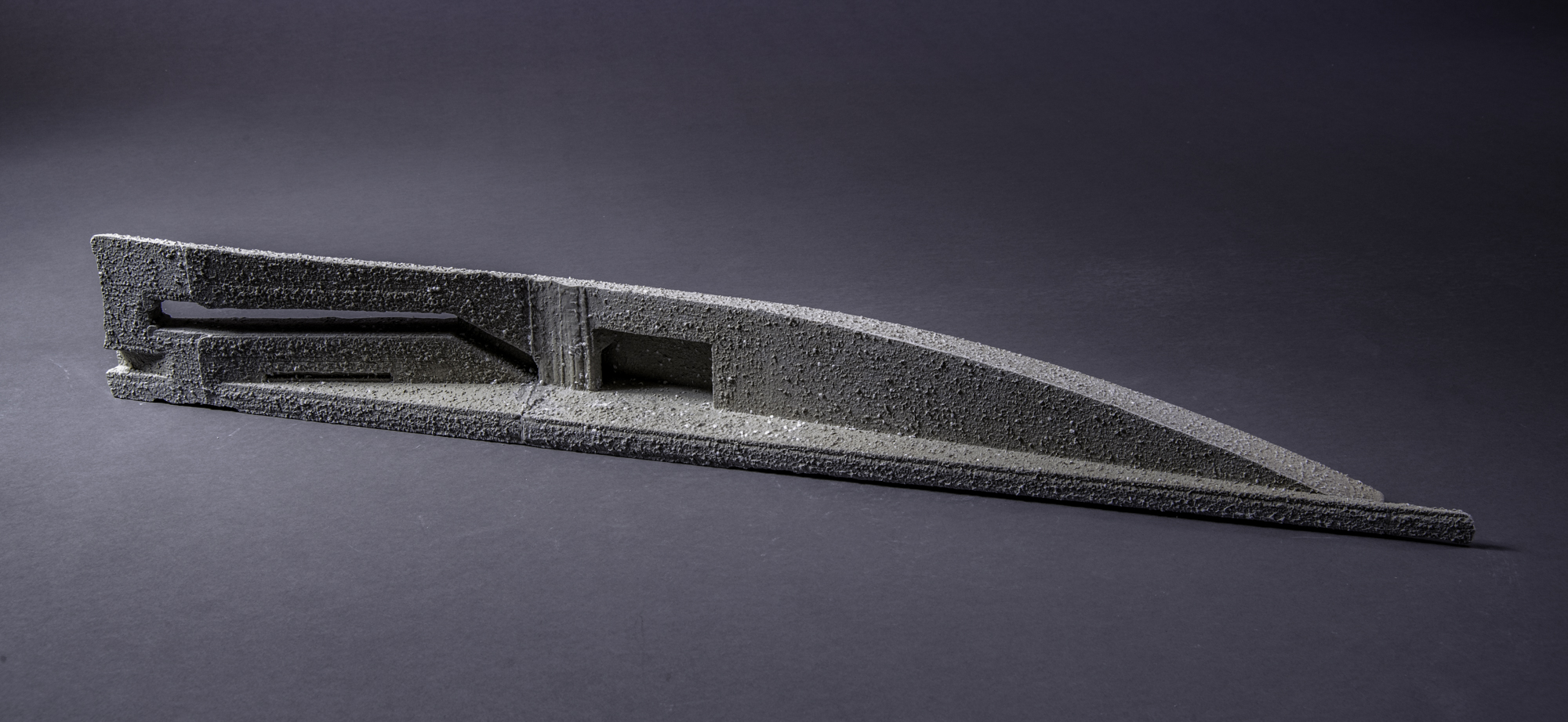
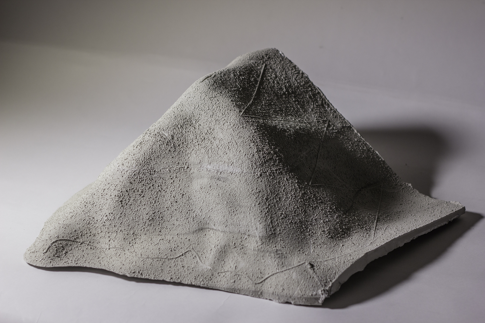
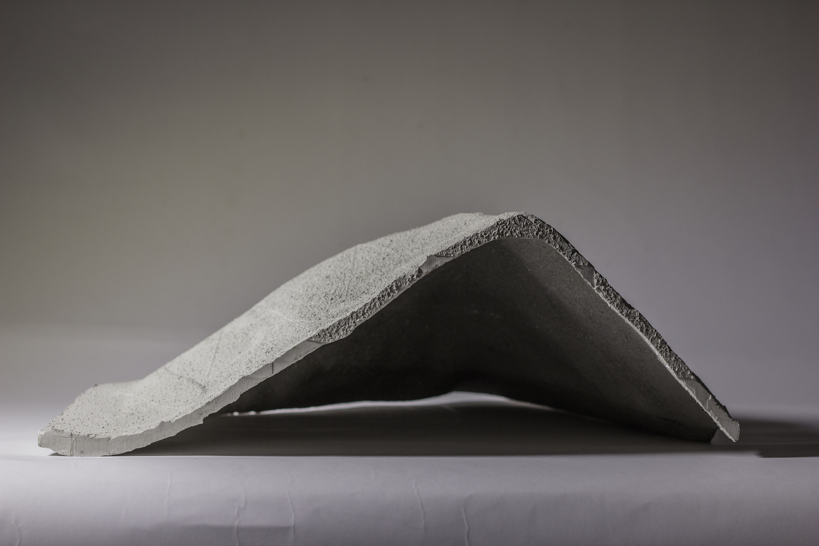
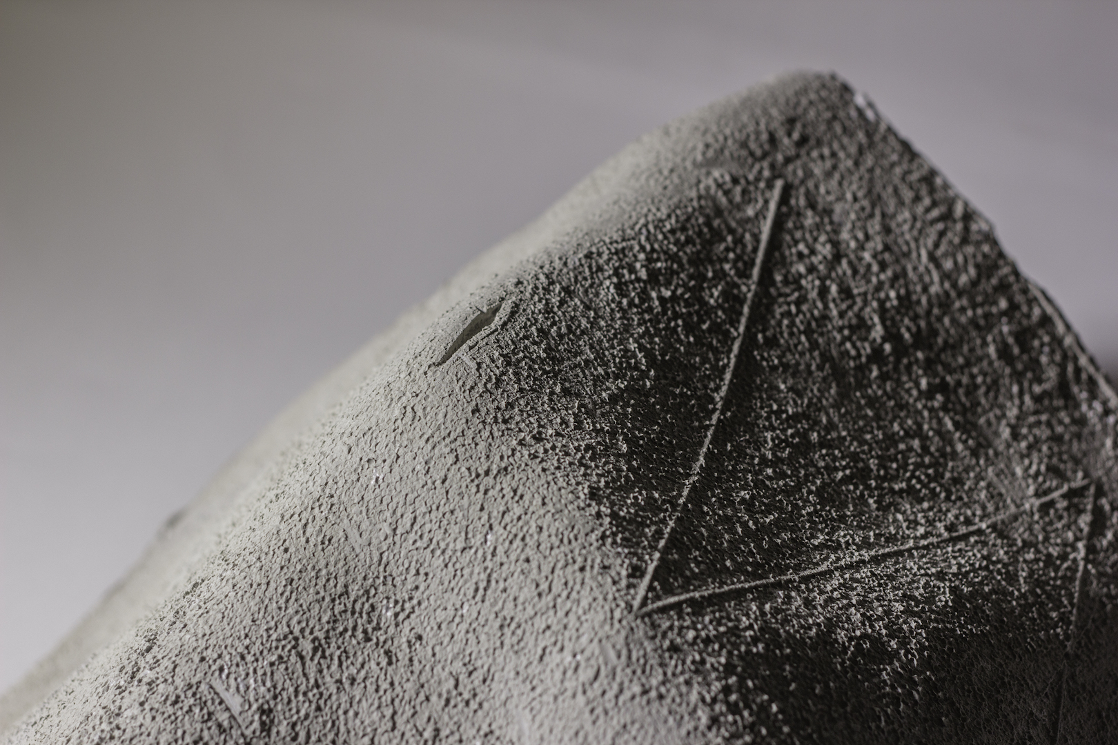
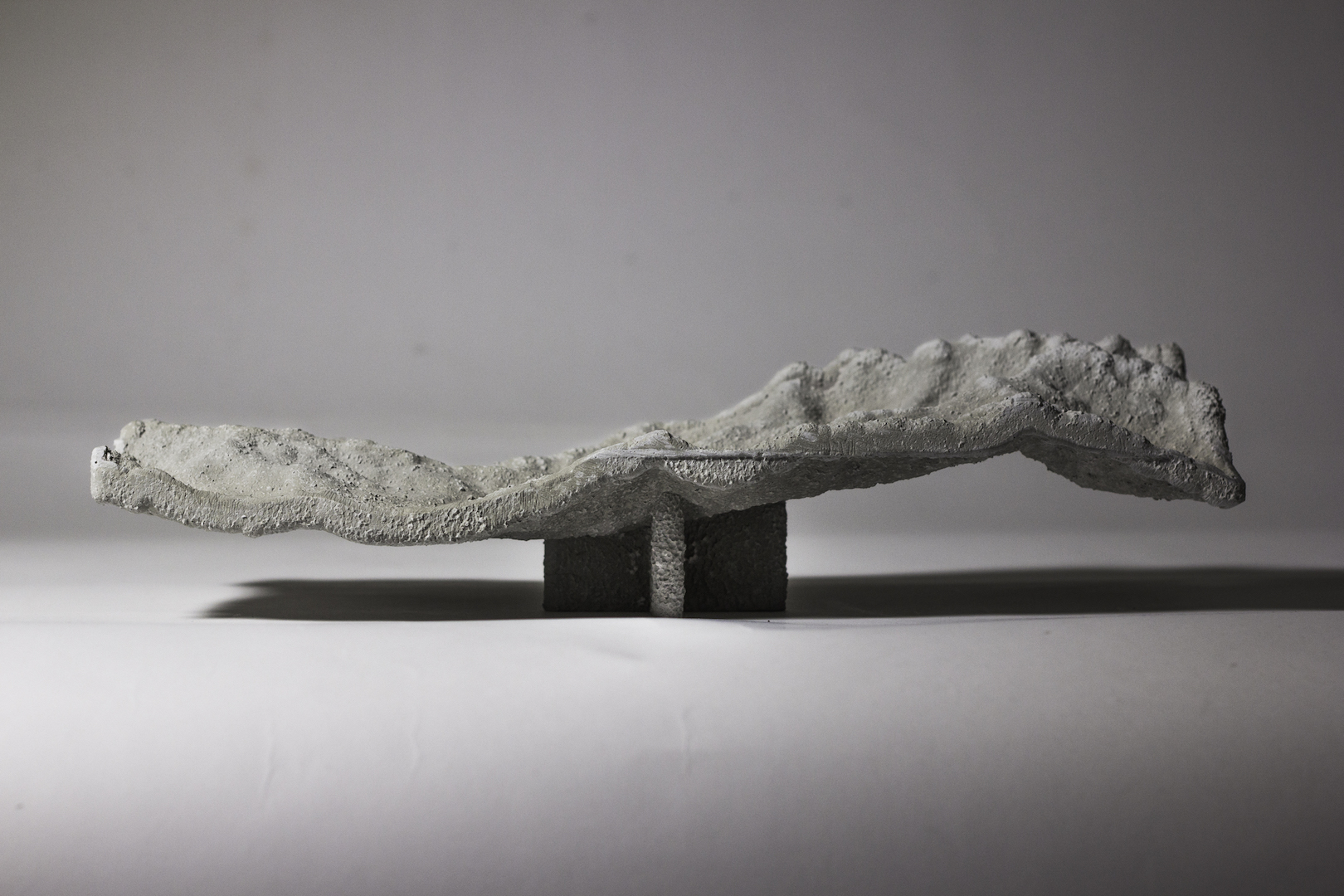
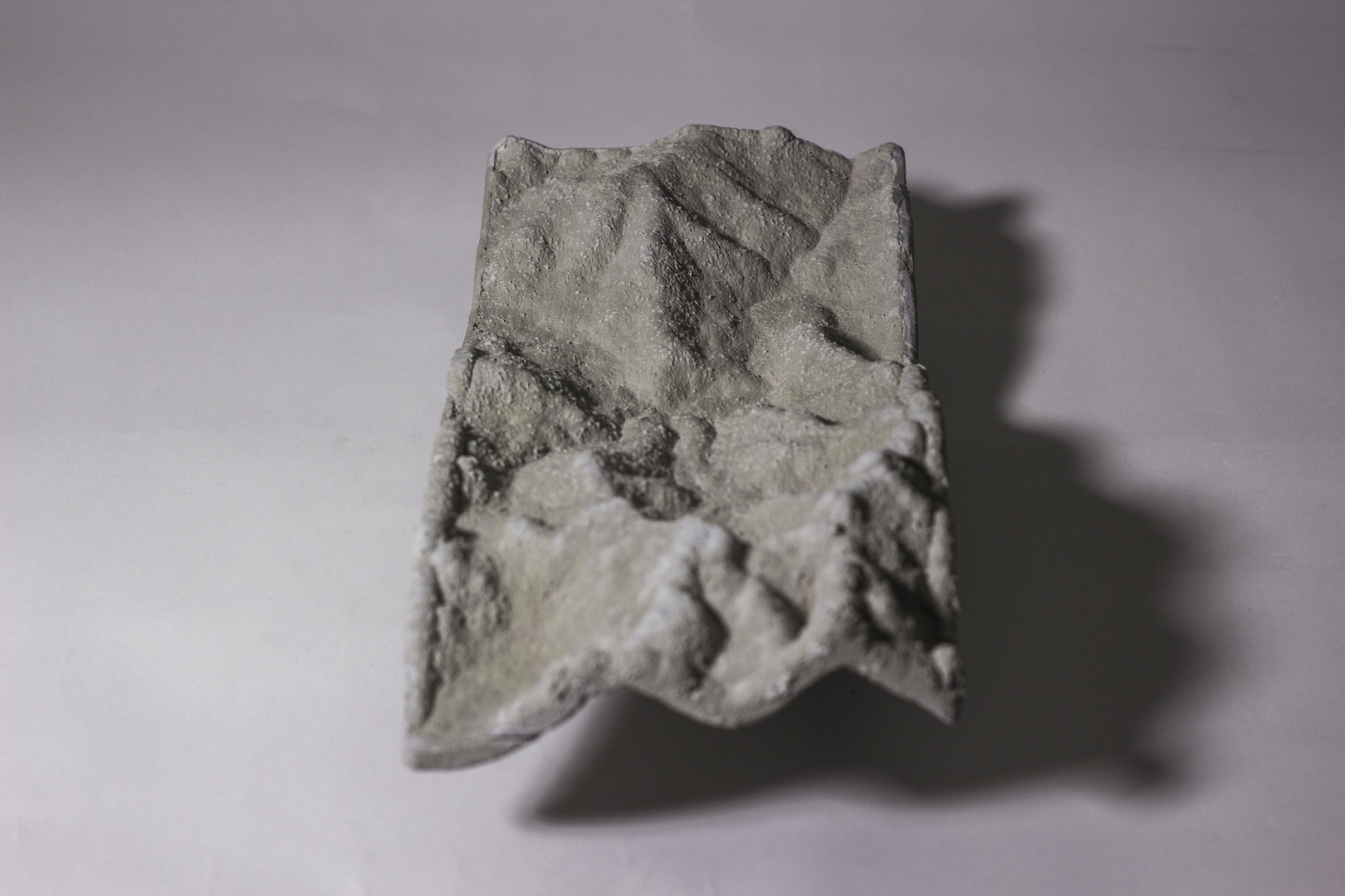
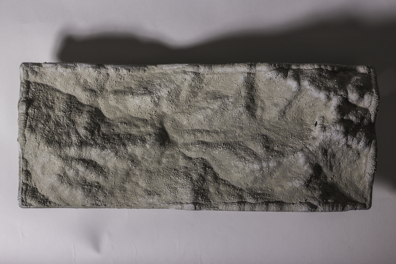
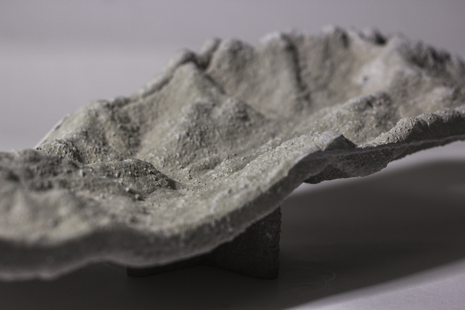
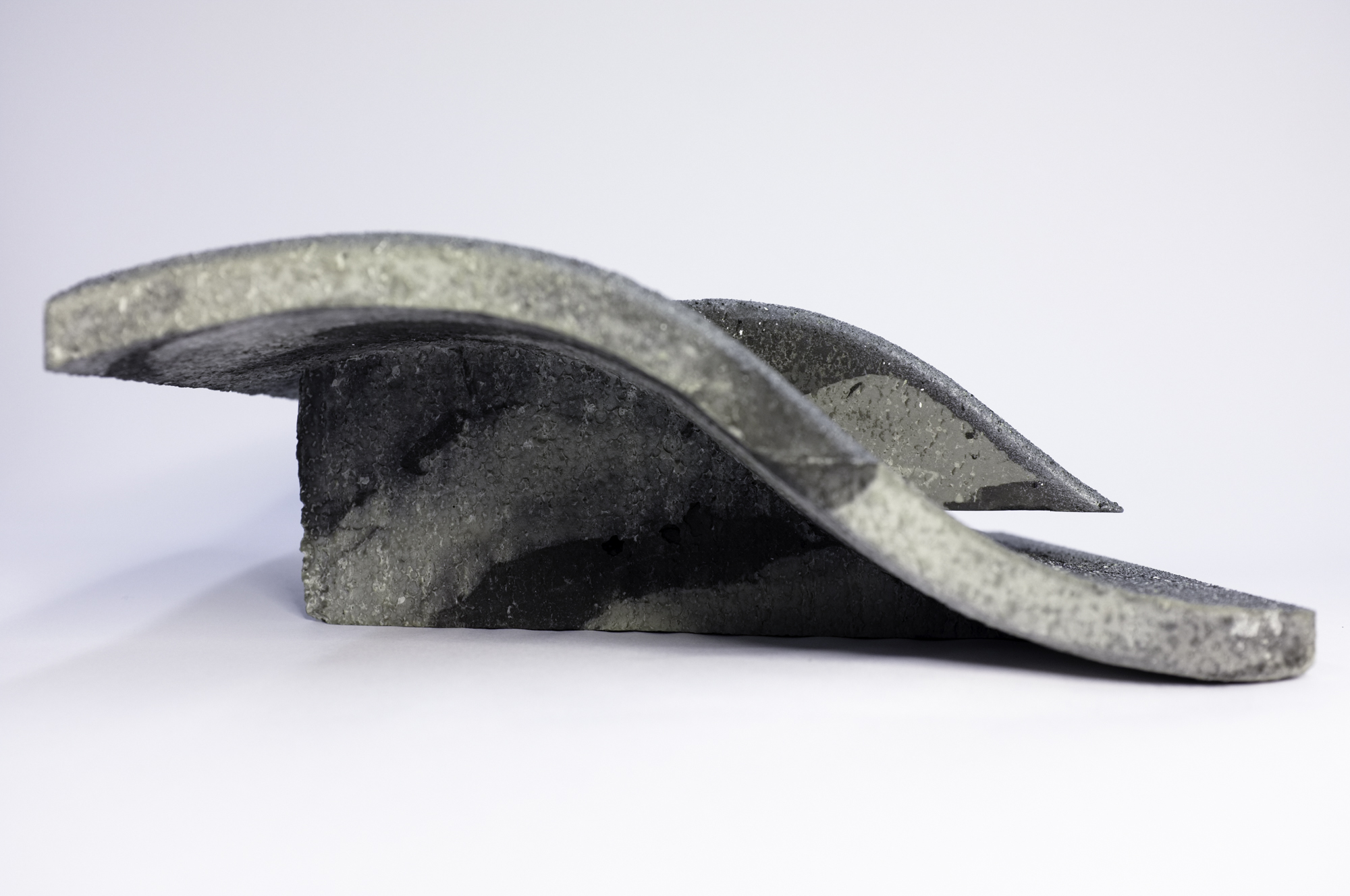
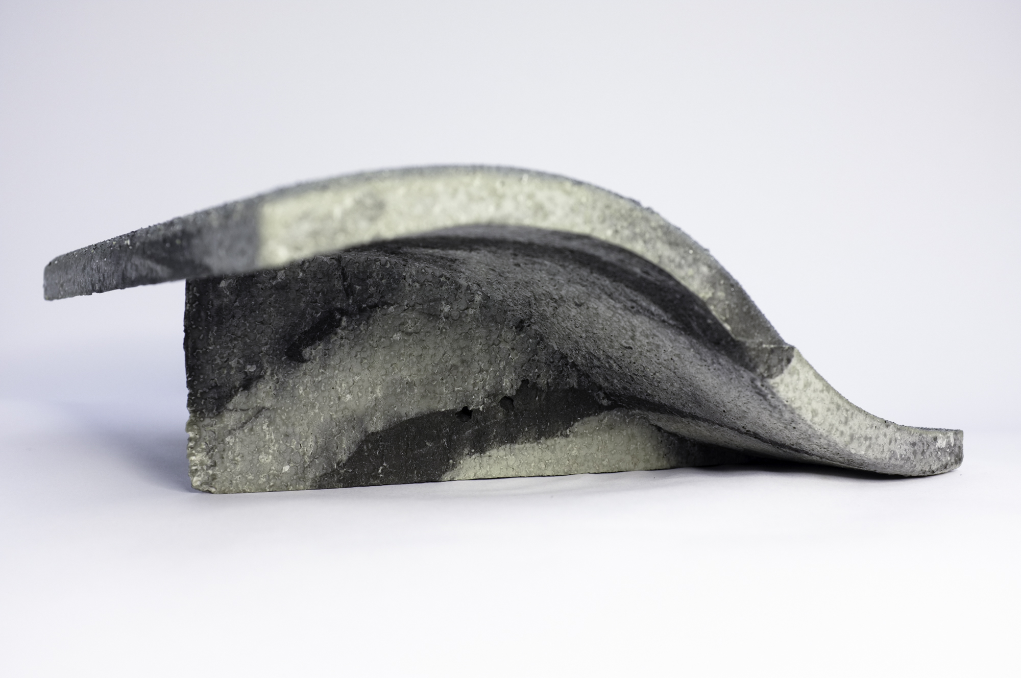
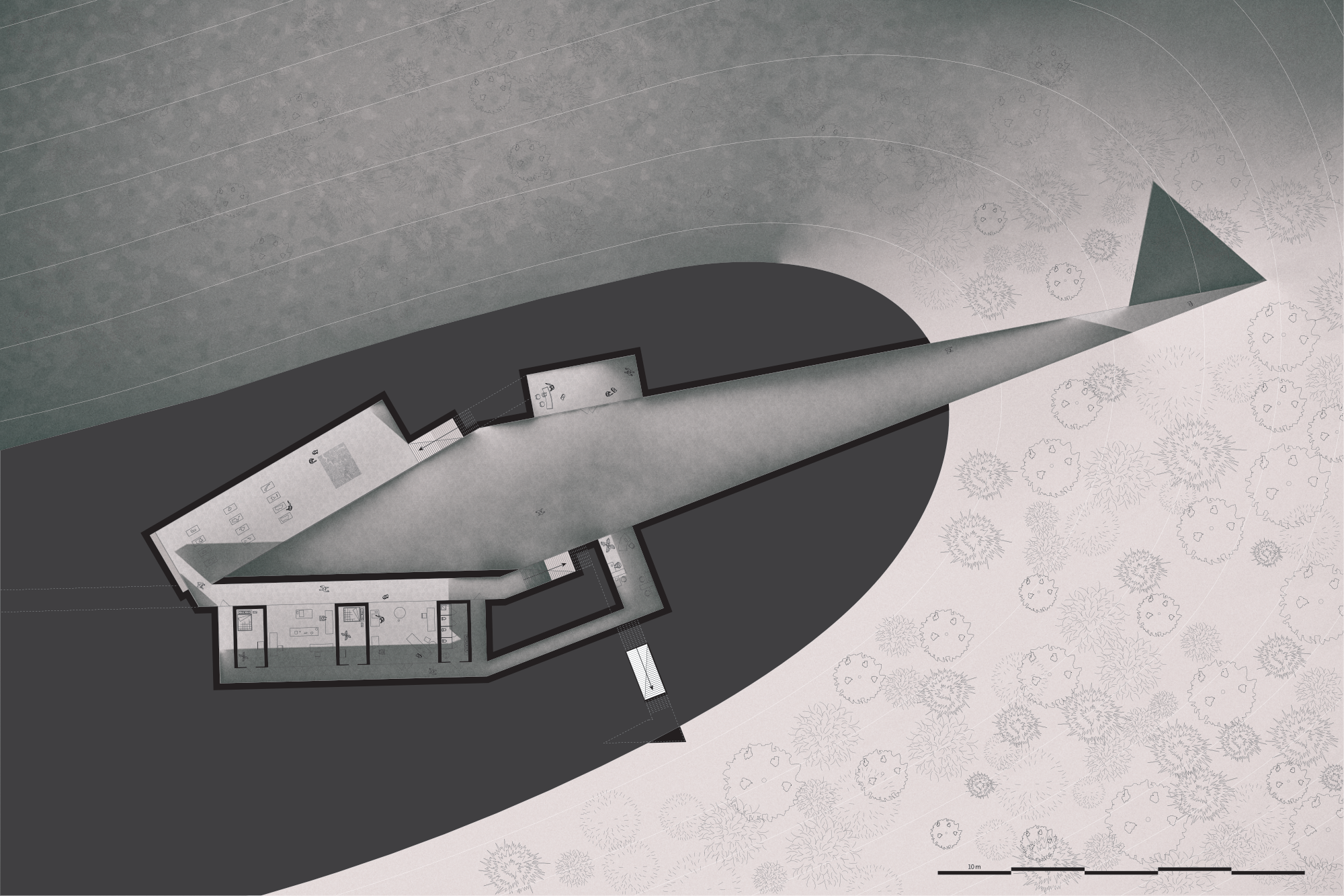
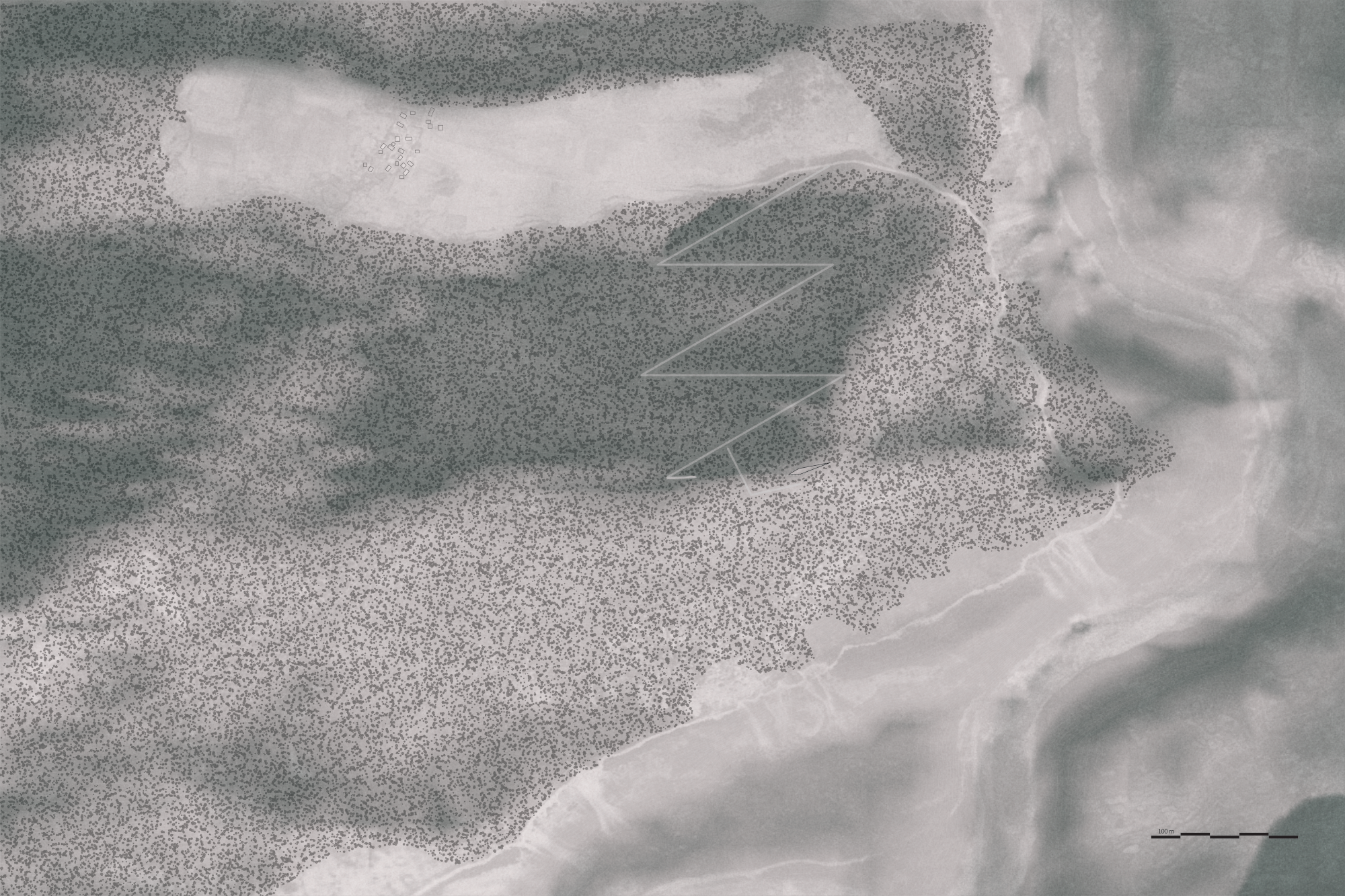
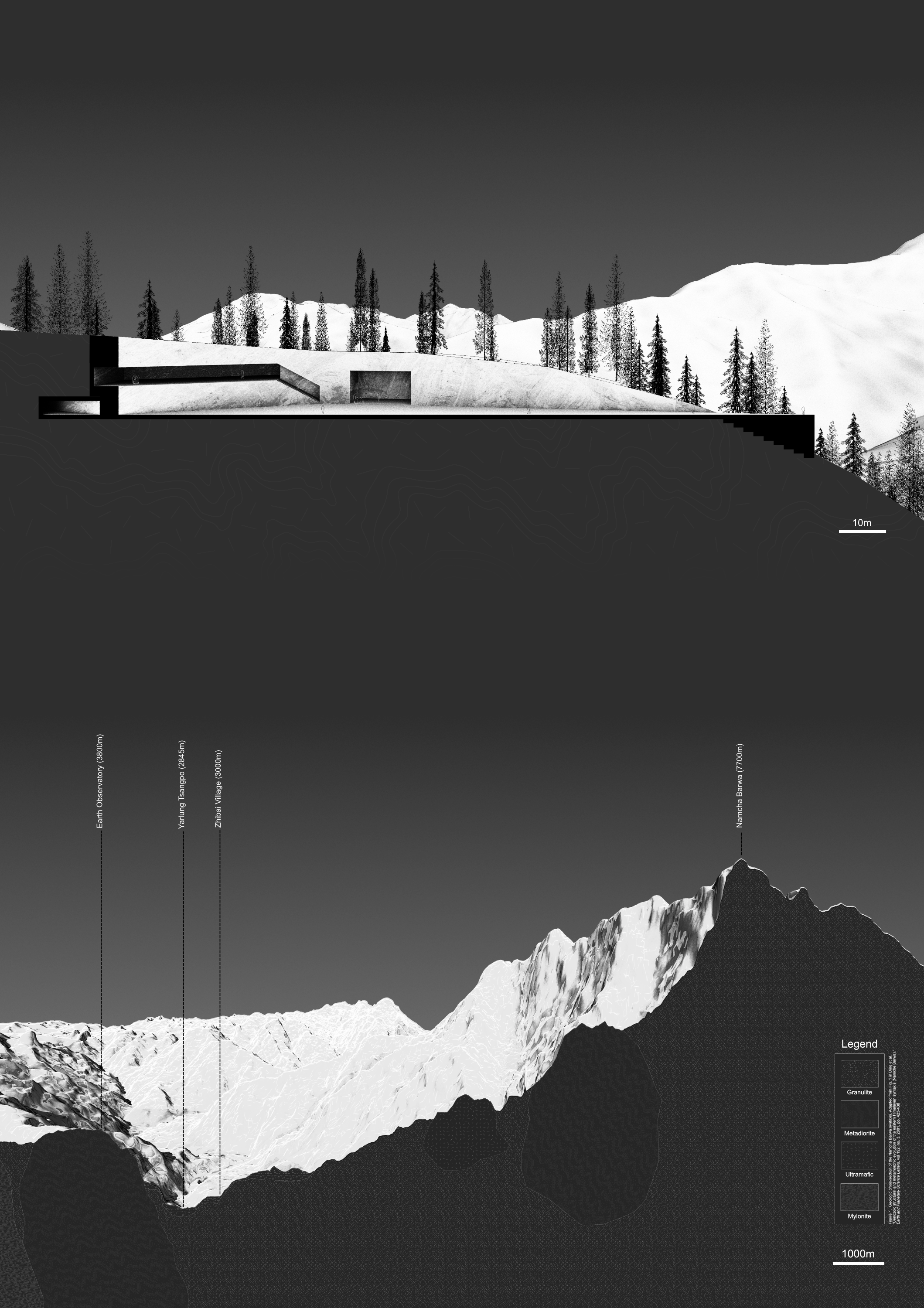
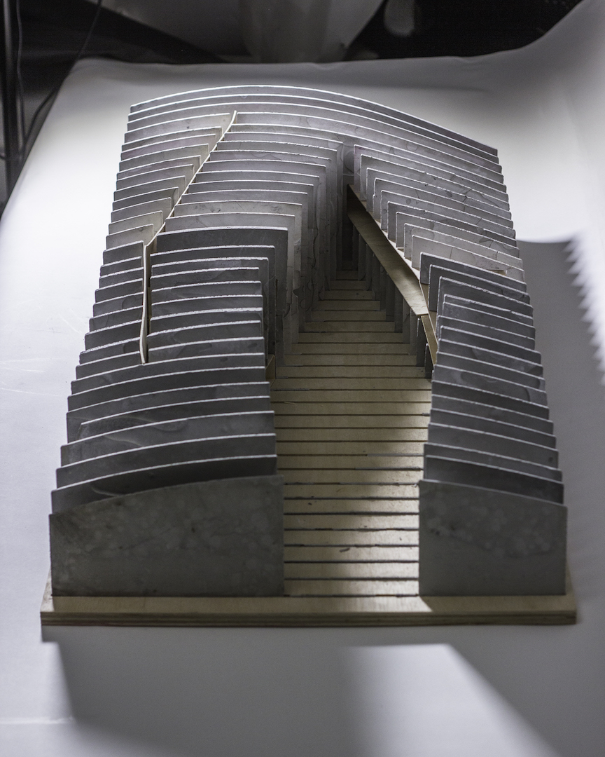
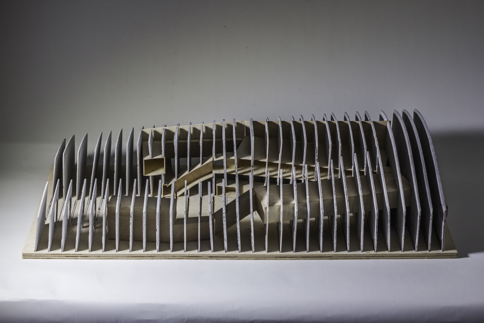
In order to tell this more complete story of Namcha Barwa to the inevitable onslaught of tourists, I propose a geologic museum situated along a “small” ridge within the Yarlung Tsangpo Grand Canyon. More specifically, I propose that a mountain itself becomes a museum when a decisive cut renders the exquisite stone structures of the Himalayas strikingly visible.
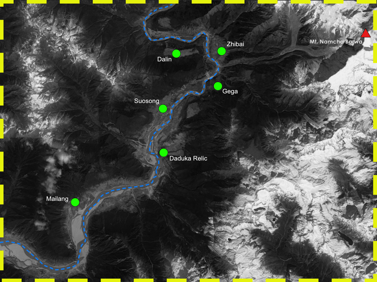
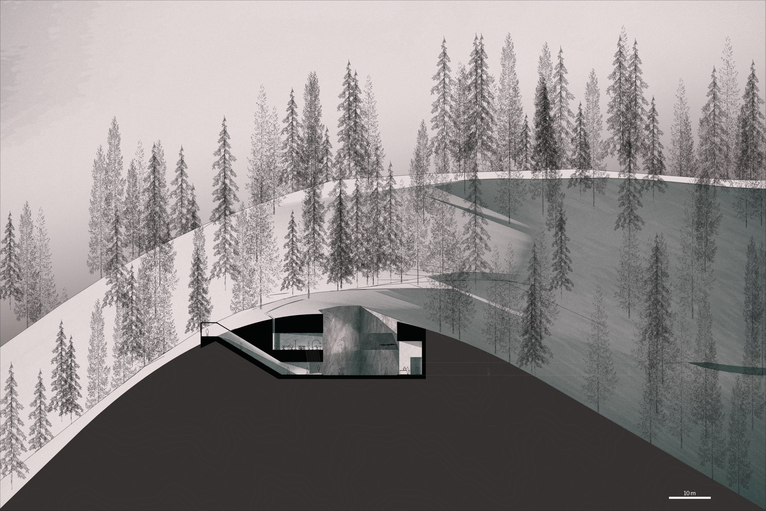
The museum is situated atop a “small hill”, directly across the Yarlung-Tsangpo river from Zhibai Village. Accessed via a 3.5km switchback forest path, the museum entrance appears as a mere mining shaft protruding from the hillside. Stepping within, the feet carry one swiftly towards the light, and finally emerge into a grand atrium of stone.
Project initiated as part of Zhang Ke’s 2017 GSD Studio titled Tibet Contemporary.
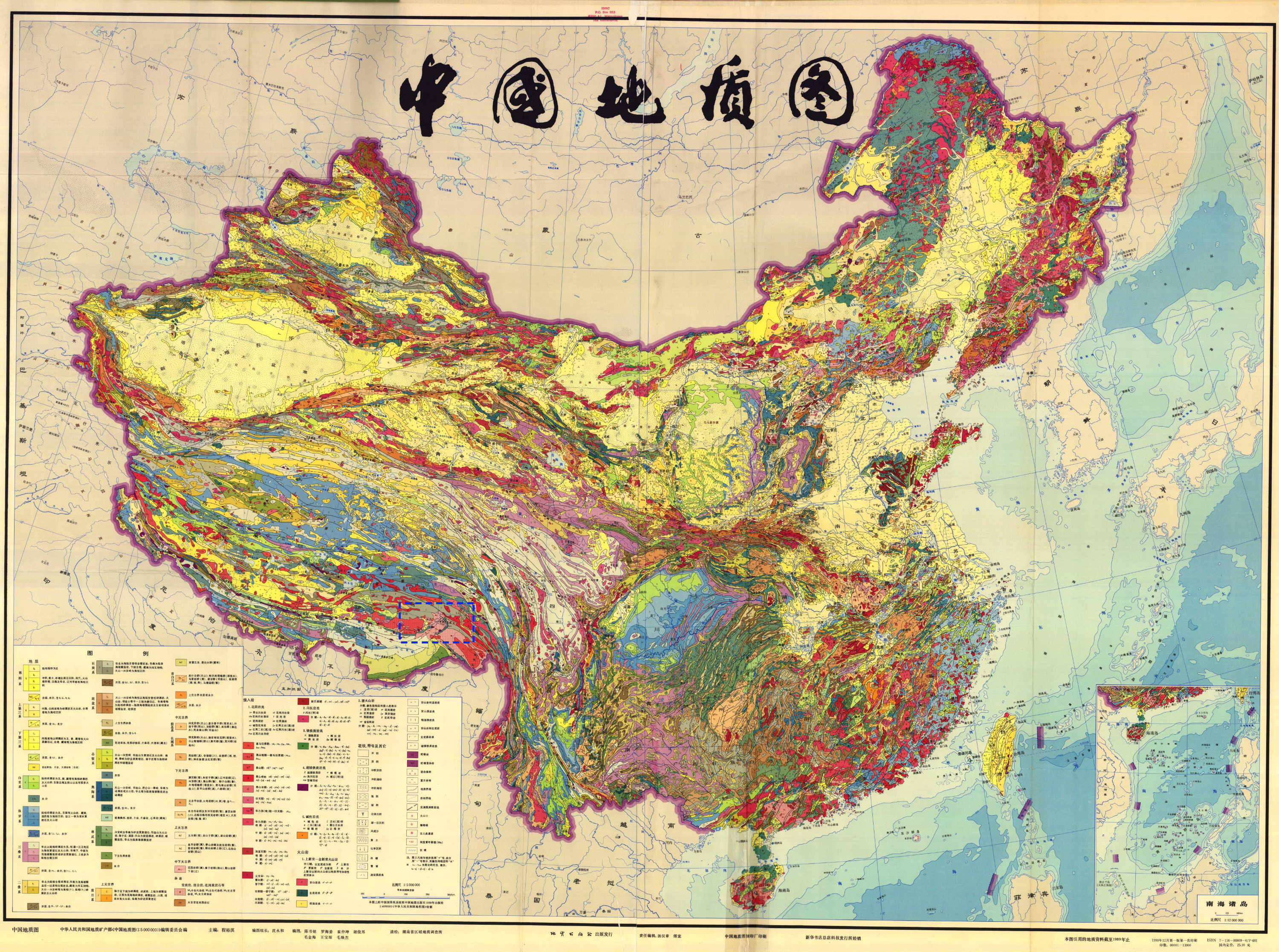
Bedrock Map of China taken from China Geological Survey, 1989
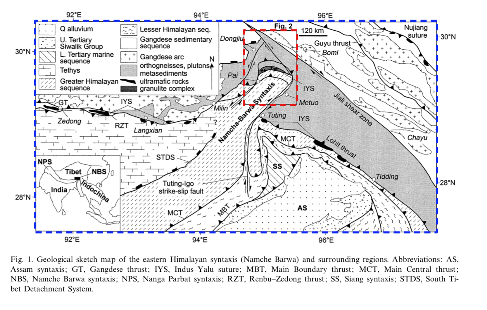
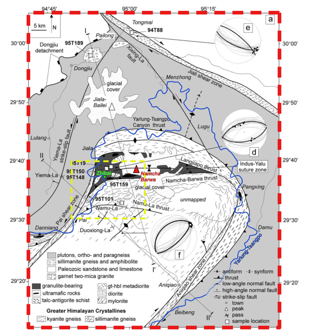
Detail Bedrock Maps of Nyingchi Prefecture taken from Ding et al. 2001
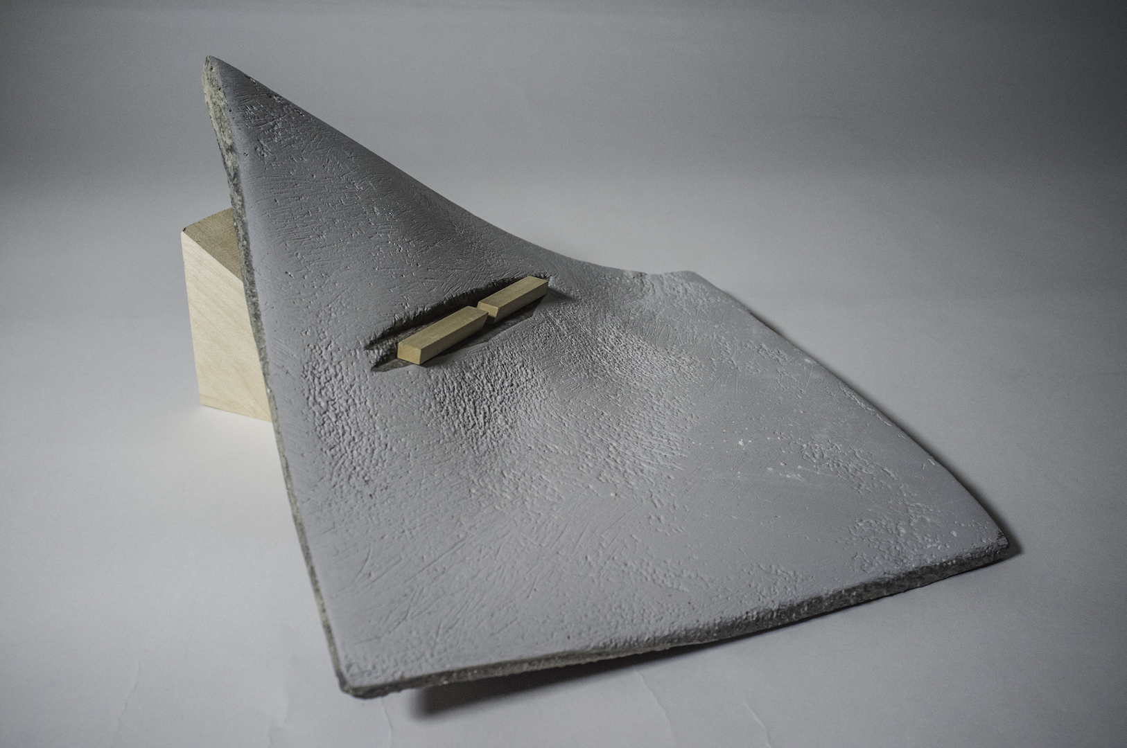
![FACING SW. ATRIUM ENTRY TUNNEL [BOTTOM LEFT], LARGE EXHIBITIONS SPACE [CENTER RIGHT]](https://www.monoton.ist/wp-content/uploads/2018/01/MG_9825.jpg)
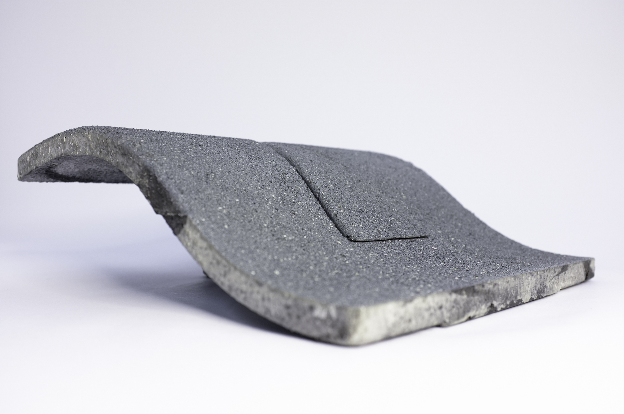
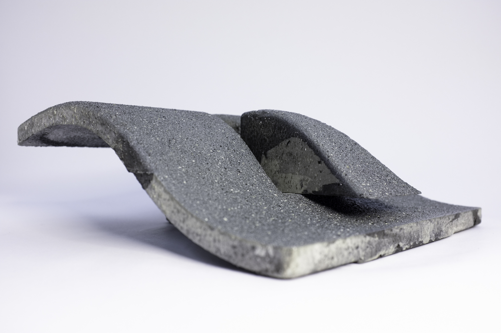
![LABORATORY SKYLIGHTS [RIGHT]. ENTRY TUNNEL [BOTTOM]](https://www.monoton.ist/wp-content/uploads/2018/01/MG_9860.jpg)